预约演示
更新于:2025-09-09

Sun Yat-Sen University
更新于:2025-09-09
概览
标签
肿瘤
消化系统疾病
其他疾病
小分子化药
蛋白水解靶向嵌合体(PROTAC)
合成多肽
疾病领域得分
一眼洞穿机构专注的疾病领域
暂无数据
技术平台
公司药物应用最多的技术
暂无数据
靶点
公司最常开发的靶点
暂无数据
| 排名前五的药物类型 | 数量 |
|---|---|
| 小分子化药 | 104 |
| 合成多肽 | 8 |
| 蛋白水解靶向嵌合体(PROTAC) | 8 |
| 化学药 | 6 |
| 重组多肽 | 4 |
关联
165
项与 中山大学 相关的药物靶点 |
作用机制 微管蛋白抑制剂 [+2] |
在研机构 |
原研机构 |
最高研发阶段批准上市 |
首次获批国家/地区 中国 |
首次获批日期2021-03-11 |
靶点 |
作用机制 BTK抑制剂 |
在研机构 |
原研机构 |
非在研适应症 |
最高研发阶段批准上市 |
首次获批国家/地区 中国 |
首次获批日期2020-12-25 |
作用机制 ACADS inhibitors [+1] |
非在研适应症 |
最高研发阶段批准上市 |
首次获批国家/地区 美国 |
首次获批日期2019-07-03 |
2,320
项与 中山大学 相关的临床试验NCT07129772
A Multicenter, Single Arm Phase II Study on Pembrolizumab and Chemotherapy as Perioperative Treatment Followed by Nasopharyngectomy and Maintenance Pembrolizumab for Locally Recurrent Nasopharyngeal Carcinoma (PINNACLE)
Nasopharyngeal carcinoma (NPC) is an endemic malignancy in Southern China and southeast Asia. Despite intensive radical therapy, between 15% and 30% of NPC patients develop relapse. Recent phase III randomized-controlled trials conducted in China demonstrated an improvement of progression-free survival with combinational therapy immune checkpoint inhibitors (ICI) (camrelizumab, toripalimab, and tislelizumab, respective) and chemotherapy gemcitabine (G) and cisplatin (P) compared with chemotherapy GP alone for recurrent or metastatic NPC. However, none of these studies have described in details the treatment outcomes of those subjects with locally recurrent NPC only, and whether any of these patients would undergo radical surgery to remove the residual locally recurrent NPC after ICI and chemotherapy. Continuation of the same ICI as maintenance therapy may only be the treatment option for these patients who were recruited into these phase III trials, unless if they withdrew from the study and opted for radical resection. While continuing the same ICI may still lead to persistent objective response and disease control, there is a possibility of tumor recurrence leading to unresectable disease and a worse survival outcome, or unexpected, rare but recognized immune-related emergent adverse events with ICI. Radical resection after maximal response to ICI and chemotherapy for patients with locally recurrent NPC only may provide a chance of cure of the disease and these patients may be obviated from continuous exposure to ICI therapy.
In view of the above, we are now proposing a phase II single-arm study on perioperative pembrolizumab and chemotherapy followed by radical surgery for locally recurrent NPC. As a collateral study, we will also perform single-cell DNA and RNA sequencing and proteomics study to observe the tumor and immune microenvironment which certainly helps us decipher the mechanisms of tumor response at genomic, transcriptomic and proteomic levels.
In view of the above, we are now proposing a phase II single-arm study on perioperative pembrolizumab and chemotherapy followed by radical surgery for locally recurrent NPC. As a collateral study, we will also perform single-cell DNA and RNA sequencing and proteomics study to observe the tumor and immune microenvironment which certainly helps us decipher the mechanisms of tumor response at genomic, transcriptomic and proteomic levels.
开始日期2025-11-01 |
申办/合作机构  香港大学 香港大学 [+3] |
NCT07103408
A Phase II Study Evaluating Concurrent Chemoradiotherapy Combined With Dual Immune Checkpoint Blockade (PD-1/CTLA-4) for Limited-stage Small Cell Lung Cancer
This study will enroll patients with limited-stage small cell lung cancer (SCLC). Patients will receive chemotherapy (etoposide and platinum-based drugs) combined with dual immune checkpoint blockade (PD-1/CTLA-4) and thymosin alpha 1, with a total cycles of 4. Thoracic radiotherapy was performed no later than the three cycle of chemotherapy. Prophylactic cranial irradiation was recommended for patients who received complete response or partial response after chemoradiotherapy. Finally consolidation therapy with dual immune checkpoint blockade (PD-1/CTLA-4) and thymosin alpha 1 was conducted for one year. The study aims to evaluate the efficacy and safety of this treatment regimen.
开始日期2025-10-01 |
申办/合作机构 |
NCT07137884
A Phase II, Multicenter, Randomized, Controlled Clinical Study of Anlotinib Hydrochloride Capsules as Maintenance Therapy for Intermediate-High Risk Rhabdomyosarcoma in Children
This is a randomized controlled phase II clinical study aimed at evaluating the efficacy and safety of anlotinib hydrochloride in children with Intermediate-High -risk rhabdomyosarcoma. The study enrolled children with rhabdomyosarcoma confirmed by histopathology, with a clinical risk classification of high or Intermediate-risk accompanied by high-risk factors (high-risk factors are defined as age > 10 years,Poor prognosis molecular characteristics or those who cannot undergo surgery/radiotherapy);One year of maintenance treatment with anlotinib can increase the duration of response and long-term survival.
开始日期2025-10-01 |
申办/合作机构 |
100 项与 中山大学 相关的临床结果
登录后查看更多信息
0 项与 中山大学 相关的专利(医药)
登录后查看更多信息
85,383
项与 中山大学 相关的文献(医药)2026-12-01·Nano-Micro Letters
Lattice Anchoring Stabilizes α-FAPbI3 Perovskite for High-Performance X-Ray Detectors
Article
作者: Li, Wen-Guang ; Wang, Xu-Dong ; Zou, Su-Yan ; Kuang, Dai-Bin ; Fang, Yu-Chuang ; Sheng, Cong-Yi ; Huang, Yu-Hua ; Wei, Wei
Abstract:
Formamidinium lead iodide (FAPbI3) perovskite exhibits an impressive X-ray absorption coefficient and a large carrier mobility-lifetime product (µτ), making it as a highly promising candidate for X-ray detection application. However, the presence of larger FA+ cation induces to an expansion of the Pb-I octahedral framework, which unfortunately affects both the stability and charge carrier mobility of the corresponding devices. To address this challenge, we develop a novel low-dimensional (HtrzT)PbI3 perovskite featuring a conjugated organic cation (1H-1,2,4-Triazole-3-thiol, HtrzT+) which matches well with the α-FAPbI3 lattices in two-dimensional plane. Benefiting from the matched lattice between (HtrzT)PbI3 and α-FAPbI3, the anchored lattice enhances the Pb-I bond strength and effectively mitigates the inherent tensile strain of the α-FAPbI3 crystal lattice. The X-ray detector based on (HtrzT)PbI3(1.0)/FAPbI3 device achieves a remarkable sensitivity up to 1.83 × 10⁵ μC Gyair−1 cm−2, along with a low detection limit of 27.6 nGyair s−1, attributed to the release of residual stress, and the enhancement in carrier mobility-lifetime product. Furthermore, the detector exhibits outstanding stability under X-ray irradiation with tolerating doses equivalent to nearly 1.17 × 10⁶ chest imaging doses.
2026-03-01·JOINT BONE SPINE
Piezo1 at the crossroads: Mediating inflammation and mechanical stress in joint disorders
Article
作者: Liu, Hui ; Zhang, Jingyu ; Li, Zihao ; Chen, Siwen
Piezo1 is a mechanosensitive ion channel, which plays a pivotal role in translating mechanical stress into cellular signaling, thereby influencing inflammatory responses and tissue remodeling in joint disorders. Current evidences showed that Piezo1 functions as a mechanotransducer and amplifier of inflammation across joint disorders including osteoarthritis (OA), rheumatoid arthritis (RA), ankylosing spondylitis (AS), and intervertebral disc degeneration (IVDD). In OA, Piezo1 mediates chondrocyte apoptosis and matrix degradation via calcium influx, NF-κB/MAPK activation, and ferroptosis, forming a feedback loop with IL-1α to exacerbate inflammation. In AS, Piezo1 drives pathological new bone formation through CaMKII signaling, synergizing with TNF-α/IL-17A to perpetuate entheseal inflammation. In IVDD, Piezo1-induced calcium dysregulation triggers mitochondrial dysfunction, NLRP3 inflammasome activation, and YAP/TAZ-mediated extracellular matrix (ECM) degradation, creating a self-amplifying cycle of mechanical stress and inflammation. Targeting Piezo1 emerges as a potential therapeutic strategy, with preclinical studies demonstrating inhibition of Piezo1 alleviates disease progression by disrupting mechanotransduction-inflammation crosstalk. However, challenges remain in achieving tissue-specific modulation. Future research should focus on elucidating Piezo1's context and developing precision therapeutics to restore mechanobiological balance in joint diseases.
2026-02-01·BIOMATERIALS
Polyurea-based multimodal interaction nanogels for synergistic bacterial biofilm eradication and prevention of re-colonization
Article
作者: Li, Honglin ; Ren, Yijin ; Yue, Jun ; Feng, Yanwen ; Lin, Bingyan ; Zhang, Shiqiang
Bacterial biofilm eradication and prevention of re-colonization are critical for effective treatment of biofilm-associated infections. Although significant progress has been made in nanovehicle-assisted antimicrobial platforms for biofilm eradication, strategies to address re-colonization remain underdeveloped. In this study, we constructed a versatile antimicrobial delivery platform based on multimodal interaction polyurea nanogels (MIPN). MIPN demonstrated excellent biocompatibility and could effectively load various antimicrobials with high capacity due to the multiple intermolecular interactions between the antimicrobials and nanocarriers, including hydrogen bonding, electrostatic, and hydrophobic interactions. By incorporating self-synthesized quorum sensing inhibitors (QSI) within MIPN, bacteria re-colonization was successfully prevented by blocking the quorum sensing pathway and disrupting surface-associated bacterial motilities. Furthermore, MIPN coloaded with QSI- and antibiotics showed a synergistic effect on biofilm eradication and re-colonization prevention, significantly enhancing the healing of biofilm-associated infections in chronic wounds.
904
项与 中山大学 相关的新闻(医药)2025-09-09
点上方蓝字“ioncology”关注我们,
然后点右上角“…”菜单,选择“设为星标”
由国际肺癌研究协会(IASLC)主办的2025年世界肺癌大会(WCLC2025)于2025年9月6日-9日在西班牙巴塞罗那盛大召开。作为肺癌及其他胸部恶性肿瘤领域全球领先的多学科肿瘤学盛会,WCLC致力于传递该领域最前沿的诊疗进展,为世界各地的专家学者及研究者提供分享前沿研究成果、促进合作交流的平台。
本届大会,一项探究“Dato-DXd在晚期/转移性非小细胞肺癌患者中的颅内疗效”的TROPION-Lung01研究结果入选口头报告,《肿瘤瞭望》特邀中山大学肿瘤防治中心赵珅教授就此项研究成果进行点评,特此整理,以飨读者。
研究介绍
摘要号:OA10.01
TROPION-Lung01研究中Dato-DXd在晚期/转移性非小细胞肺癌患者中的颅内疗效
研究背景:非小细胞肺癌(NSCLC)患者中脑转移较为常见,且此类患者预后较差。本研究对3期临床试验TROPION-Lung01(试验编号:NCT04656652)中入组时存在脑转移、接受Dato-DXd或多西他赛(docetaxel)治疗的患者进行回顾性分析,旨在评估两种治疗方案的颅内客观缓解率(ORR)与颅内无进展生存期(PFS)。
研究方法:患者按1:1比例随机分为两组,一组接受Dato-DXd治疗(剂量为6mg/kg),另一组接受多西他赛治疗(剂量为75mg/m2),两组均为每3周给药1次。所有患者均需接受基线脑部影像学检查;研究者确认存在无症状脑转移(包括既往接受过治疗的脑转移,或筛查时新发现且病情稳定的脑转移)的患者符合入组条件,并需每6周进一步接受影像学评估。本事后分析(数据截止日期:2024年8月30日)中,针对基线存在脑转移的患者群体,由盲态独立中心评估(BICR)依据中枢神经系统实体瘤疗效评价标准(CNSRECIST)对中枢神经系统(CNS)病变进行回顾性评估。
根据患者既往是否接受过放疗,将其分为不同亚组:既往接受过中枢神经系统放疗、且在随机分组前出现中枢神经系统进展的患者归入未治疗组。同时,根据患者是否存在可测量病灶,进一步对其进行分组。
研究结果:在TROPION-Lung01试验的604例患者中,经中枢神经系统BICR确认,127例(21.0%)患者基线存在脑转移(其中接受Dato-DXd治疗者70例,接受多西他赛治疗者57例)。两组治疗臂患者的基线特征均衡,每组均有17例患者存在EGFR突变。
68例患者存在未治疗脑转移或放疗后进展性脑转移(其中接受Dato-DXd治疗者38例,接受多西他赛治疗者30例);在这68例患者中,27例存在可测量病灶,41例存在不可测量病灶。
未治疗且存在可测量病灶的患者(n=27):Dato-DXd治疗组的确认颅内ORR为37.5%(95%置信区间[CI]:15.2~64.6),其中1例达到完全缓解(complete response, CR)(6/16);而多西他赛治疗组的确认颅内ORR为0%(95%CI:0~28.5)(0/11)。
纳入存在不可测量病灶患者的整体分析:Dato-DXd治疗组的确认颅内ORR为15.8%(95%CI:6.0~31.3)(6/38),多西他赛治疗组仍为0%(95%CI:0~11.6)(0/30)。
所有缓解病例均见于非鳞癌组织学类型患者;EGFR突变型肿瘤患者的治疗结局与整体患者群体一致。
Dato-DXd治疗的颅内缓解中位时间为1.5个月(范围:1.2~2.6个月,n=6);多西他赛治疗组未观察到任何颅内缓解。
在基线存在脑转移的整体患者群体中(n=127),Dato-DXd治疗的中位颅内PFS较多西他赛更长(5.1个月vs4.4个月),风险比(hazard ratio, HR)为0.65(95%CI:0.39~1.09);在存在未治疗脑转移或放疗后进展性脑转移的患者中(n=68),Dato-DXd治疗的中位颅内PFS同样优于多西他赛(5.0个月vs3.0个月),HR为0.48(95%CI:0.23~0.98)。
研究结论:在对TROPION-Lung01试验的回顾性分析中,针对基线存在脑转移的NSCLC患者(包括存在未治疗脑转移或放疗后进展性脑转移的患者),Dato-DXd显示出颅内活性,且较多西他赛具有更优的临床获益。这些结果与TROPION-Lung05试验(试验编号:NCT04484142)中观察到的Dato-DXd颅内活性一致,支持了Dato-DXd用于治疗NSCLC脑转移患者的潜力。
大咖点评
ADC作为大分子复合结构的药物,其穿透血脑屏障的能力和颅内有效率一直不明确。因此,目前大部分ADC临床试验对患者的中枢神经系统转移情况均进行严格限制。但中枢神经系统是NSCLC最常见的转移部位之一,脑转移患者血脑屏障的完整性受损,ADC可能可以通过受体介导的转运机制,或者释放其高亲脂性载荷突破血脑屏障作用。此前已有小样本或亚组研究数据报道了HER3-DXd、YL201等ADC在肺癌脑转移患者中的颅内活性。在本研究中,对TROPION-Lung01研究中脑转移患者的回顾性分析显示,Dato-DXd在未经治疗的活性脑转移患者中确认的颅内客观缓解率(ORR)达37.5%,显著优于多西他赛的0%,且中位颅内无进展生存期(PFS)也显示出临床有意义的延长(HR=0.48)。值得注意的是,颅内应答均发生于非鳞癌患者,与Dato-DXd在颅外的疗效一致,值得深入进行生物标志物分析。上述数据不但为Dato-DXd治疗NSCLC脑转移提供了令人鼓舞的证据,也进一步支持ADC这一新兴疗法在NSCLC的广阔前景和应用空间。
专家简介
赵珅 教授
中山大学肿瘤防治中心
副主任医师、副研究员、硕士生导师
毕业于中山大学临床医学八年制,主要从事胸部肿瘤诊疗工作
主要研究方向:肺癌的精准靶向干预及新型治疗策略研发
2023年CSCO“35位最具潜力青年肿瘤医生”
以第一/通讯作者在Nature Medicine、Nature Reviews Clinical Oncology、 Lancet Oncol、 Nature Communications、J Thorac Oncol、J Hematol Oncol等杂志发表论文10余篇
Cell Rep Med、BMC Med、J Thorac Oncol等杂志审稿人
主持国家自然科学基金面上项目、广东省自然科学基金面上项目、国家自然科学基金青年项目、中山大学肿瘤防治中心优秀青年人才项目、中国科协科技智库青年人才计划
(来源:《肿瘤瞭望》编辑部)
声 明
凡署名原创的文章版权属《肿瘤瞭望》所有,欢迎分享、转载。本文仅供医疗卫生专业人士了解最新医药资讯参考使用,不代表本平台观点。该等信息不能以任何方式取代专业的医疗指导,也不应被视为诊疗建议,如果该信息被用于资讯以外的目的,本站及作者不承担相关责任。
抗体药物偶联物临床结果临床3期
2025-09-08
·药时空
摘要:流感病毒的抗原漂移和抗原转变导致现有疫苗需每年更新,开发通用流感疫苗成为全球迫切需求。本文系统梳理了通用流感疫苗的常见抗原靶点及其在疫苗设计中的优缺点,总结了免疫聚焦策略、多靶点组合策略等主要设计方法,并详细介绍了不同技术路线下通用流感疫苗的最新研究进展,包括流感病毒平台、病毒载体平台、类病毒颗粒平台等,旨在帮助读者全面了解该领域的前沿动态。推荐阅读:盘点 | 中国25家流感疫苗企业及管线最新进展
扫描右边微信号,符合要求,即可加入流感疫苗研发微信群交流
一、流感的威胁与通用疫苗的必要性(一)流感的全球危害
季节性流感每年在全球导致 300 万至 500 万重症病例,29 万至 65 万人死亡。历史上已发生四次流感大流行,其中 1918 年的大流行造成约 1 亿人死亡,流感对全球公共卫生构成重大负担。
接种疫苗是减轻疾病负担和控制传染病的最有效措施。世界卫生组织(WHO)自 1952 年起建立了全球流感监测和应对系统(GISRS),每年根据 Ferrets 血清的抗原数据、人类样本的血清学分析和病毒序列数据,分别在 9 月和 2 月为南半球和北半球推荐下一季流感病毒的疫苗株。(二)现有疫苗的局限性
由于流感病毒的快速突变,流行株与疫苗株可能不一致,导致流感疫苗的有效性存在差异。此外,使用鸡胚生产季节性流感疫苗存在生产速度慢的问题,且当鸡胚中发生适应性突变时,会降低疫苗的有效性。更重要的是,新出现的流感大流行会使季节性流感疫苗几乎失效,而人群普遍缺乏免疫力会加剧症状。因此,开发有效的通用流感疫苗迫在眉睫。二、流感病毒与通用流感疫苗的标准(一)流感病毒及其突变
流感病毒属于正粘病毒科,是单链负链 RNA 病毒。其基因组分为 8 个片段,编码十多种蛋白质,主要包括血凝素(HA)、神经氨酸酶(NA)、核蛋白(NP)、两种基质蛋白(M1 和 M2)等。基于 NP 和 M1 的抗原差异,流感病毒可分为 A、B、C、D 四种类型。A 和 B 型流感病毒主要引起人类的季节性流行,其中 A 型流感病毒是流感大流行的主要原因。
A 型流感病毒根据 HA 和 NA 的序列相似性分为 18 个 HA 亚型(H1-H18)和 11 个 NA 亚型(N1-N11),HA 亚型还可基于相似性分为 Group I 和 Group II。B 型流感病毒仅有两个谱系:维多利亚谱系和 Yamagata 谱系。
流感病毒的突变主要通过抗原漂移和抗原转变实现。抗原漂移是由于流感病毒的 RNA 聚合酶缺乏校对活性,导致病毒蛋白发生点突变积累,或病毒蛋白糖基化,最终引起抗原性变化。季节性抗原漂移导致了流感的季节性流行,也是季节性流感疫苗需要每年更新的原因。抗原转变是指不同流感病毒感染同一宿主时,病毒基因组片段发生重排,可能产生新的亚型或毒株,人群对这些新亚型和毒株往往缺乏免疫力,从而引发大流行。(二)通用流感疫苗的标准
不同组织对通用流感疫苗制定了不同标准。美国国立卫生研究院(NIH)下属的国家过敏和传染病研究所(NIAID)在 2017 年 6 月设定的标准为:(1)对至少 75% 的症状性流感感染有保护作用;(2)适用于所有年龄组;(3)保护期超过 1 年或跨越多个季节;(4)对 A 型流感的 Group I 和 Group II 均有效,或也对 B 型流感有效。
世界卫生组织(WHO)在 2024 年也为通用流感疫苗制定了新标准:(1)适用于所有年龄组;(2)对当前流行的亚型至少提供 3 年的保护;(3)对当前流行的亚型的保护效果优于目前已批准的季节性流感疫苗。三、通用流感疫苗的抗原靶点与设计策略(一)通用流感疫苗的抗原靶点
HA、NA、NP、M1 和 M2 是通用流感疫苗设计中最常见的抗原靶点,具体信息如下表所示:
表 1:通用流感疫苗的五个常见靶点
HA:HA 是流感病毒表面的 I 型跨膜糖蛋白,以 homotrimer 形式存在,每个单体由可变的球状头部和较保守的茎部组成。针对 HA 头部的抗体通过阻止其与受体结合来中和病毒感染,通常具有株特异性;针对 HA 茎部的抗体可抑制病毒进入和释放,通常对多种毒株和亚型具有交叉保护作用。但针对 HA 茎部的抗体水平通常低于针对 HA 头部的抗体水平,需要通过稳定构象和多次免疫来提高。
NA:NA 是流感病毒表面的 II 型跨膜糖蛋白,以 homotetramer 形式存在,主要功能是切割唾液酸受体以促进子代病毒释放。抗 NA 抗体可能通过阻断子代病毒释放或通过抗体依赖的细胞毒性(ADCC)提供保护。NA 在抗原性上比 HA 更保守,抗 NA 抗体可诱导对同型和亚型流感病毒的保护。
M2:M2 是流感病毒表面的 III 型跨膜蛋白,以 homotetramer 形式存在,主要功能是通过控制内体和高尔基体中的 pH 来促进病毒进入和释放。M2 的 N 端 23 个氨基酸暴露在细胞外,具有高度保守性,称为 M2 胞外域(M2e)。抗 M2e 抗体不能阻止病毒进入,但可通过 ADCC 效应或招募先天免疫细胞杀死受感染细胞,在小鼠中可诱导良好的交叉保护 immunity。然而,M2e 本身的免疫原性较差,因此选择 M2e 作为通用流感疫苗的靶点时,通常需要多靶点组合或佐剂。
NP 和 M1:NP 和 M1 是流感病毒的内部蛋白,M1 有助于病毒颗粒的形成,NP 与病毒 RNA 结合形成复合物,有助于病毒复制。两者都含有高度保守的细胞毒性 T 细胞表位(CTLs),针对 NP 和 M1 的抗体可对不同亚型的流感病毒产生交叉保护 immunity。细胞毒性 T 细胞反应可降低重症率和死亡率,但不能预防感染,通常需要同时诱导抗体反应。
(二)通用流感疫苗的抗原设计策略
基于上述抗原靶点,通用流感疫苗的设计主要采用免疫聚焦策略、多靶点组合策略、T 细胞策略、计算优化的广泛交叉反应抗原策略(COBRA)和人工智能策略等。
免疫聚焦策略:该策略旨在将免疫反应集中在关键表位或保守表位上。由于 HA 茎部序列更保守,将免疫反应聚焦于 HA 茎部是通用流感疫苗开发的热点。例如,采用 “头部交换策略”,将外来禽流感 HA 的头部移植到人流感 HA 的茎部,可增强针对流感 HA 茎部的抗体,从而提高疫苗的交叉保护作用;采用 “结构生物学策略”,通过去除 HA 头部并对 HA 茎部进行结构修饰来稳定 HA 茎部,可在小鼠和灵长类动物中诱导交叉中和抗体,并保护小鼠免受多种流感毒株的感染。
但该策略通常依赖于目标表位天然构象的准确呈现,这对复杂的构象表位的疫苗设计提出了特别挑战,且免疫原的聚焦程度越高,其免疫原性可能越不足。
多靶点组合策略:该策略是将不同的抗原混合或将不同的抗原制备到同一载体上,目的是通过组合策略诱导广谱的抗体水平。例如,斯坦福团队通过共价偶联不同的 HA 抗原来设计广谱流感疫苗,与单独的 HA 混合物相比,接种偶联的异源抗原的小鼠可限制抗体亚型偏好;杜克大学开发了共表达 HA 和 NA 的方法,将该方法应用于季节性流感疫苗,不仅能引发对匹配毒株的强烈免疫反应,还能产生对异源病毒的更具交叉反应性的抗体谱。
不过,该策略可能导致疫苗的免疫反应偏向某一成分,且由于多靶点组合导致抗原总量增加,可能增加疫苗不良反应的风险,同时该策略的疫苗效果通常要求不低于单一成分,这增加了实验设计的复杂性和监管审批的难度。
T 细胞策略:T 细胞表位具有高度保守性,T 细胞免疫反应在保护个体免受病毒感染方面发挥着重要作用。因此,研究人员在设计广谱疫苗时经常采用 T 细胞策略,以激活体内的 T 细胞免疫反应。例如,马赛克算法通过在免疫原中呈现更多的 T 细胞表位,能在小鼠中诱导更强的交叉保护反应;基于计算机设计的 T 细胞表位疫苗已被证明可诱导病毒特异性 T 淋巴细胞反应,并对不同的流感病毒亚型提供部分保护。
但依赖 T 细胞策略的疫苗可能无法完全保护免受病毒感染,通常需要 B 细胞免疫的协同作用,且人群主要组织相容性复合体(MHC)的多样性和复杂性导致 T 细胞表位呈递存在差异,因此人群的免疫效果可能不同。
COBRA 策略:这是一种计算工具,提取免疫原中最保守的部分形成新的抗原,以诱导广泛的抗体反应。该策略旨在覆盖多种病毒的抗原,提高疫苗对病毒变异的抵御能力。例如,针对 H1 流感的 HA COBRA 疫苗可引发针对多种 H1 毒株的抗体;针对 H3 流感的 HA COBRA 疫苗对过去多种 H3 流感流行毒株的抗体反应优于野生型 HA 疫苗,更值得注意的是,通过该方法设计的疫苗能够中和未来出现的 H3 毒株。
但该策略过于依赖自然界中已存在的病毒序列,当出现新的或重组的病毒毒株时,其诱导的抗体可能无法中和这些新毒株,且 COBRA 策略的设计通常针对特定亚型,从而阻碍了实现跨亚型的全面保护。
人工智能策略:随着人工智能的快速发展,其在疫苗领域的作用日益突出。该策略是指利用机器学习或深度学习等算法工具合理设计免疫原、预测抗原表位和优先推荐抗原。例如,利用深度卷积神经网络(CNN)模型预测流感抗原性,用于流感疫苗株推荐,其性能优于世界卫生组织推荐的模型,并显示出持续良好的覆盖率;借助 H3 流感分离株的 HA 序列和相关数据,机器学习模型能够准确区分抗原变体和非变体,这对通用流感疫苗的开发具有重要意义。
然而,由于模型的可解释性差,当前人工智能策略设计的疫苗增加了监管审批的难度,且由于缺乏大量、长期的临床数据观察,这一新兴学科设计的疫苗的安全性未知。
综上所述,这五种主要策略在通用疫苗设计中各有优缺点。免疫聚焦、T 细胞和 COBRA 策略都侧重于更保守的表位,而多靶点组合策略侧重于免疫分散,人工智能策略侧重于选择有利的免疫原或预测未来可能的免疫原。未来在设计通用流感疫苗时,必须整合多种策略的优势,规避其劣势,以诱导高水平的交叉免疫反应。四、不同技术路线下的通用流感疫苗
基于上述抗原靶点和抗原设计策略,研究人员在不同技术路线下开展了通用流感疫苗的研发,主要技术路线包括流感病毒技术平台、病毒载体技术平台、类病毒颗粒技术平台(VLP)、纳米颗粒技术平台、重组蛋白技术平台和核酸技术平台。(一)基于流感病毒的通用流感疫苗
基于流感病毒的疫苗主要有灭活疫苗和减毒活疫苗两种类型。传统的基于全长 HA 的灭活流感疫苗难以诱导广泛的免疫反应,但杜克大学团队研发的聚焦于 HA 茎部的灭活疫苗在小鼠中引发了交叉保护反应(见表 2)。
在传统减毒流感疫苗的研发中,非人类来源的流感毒株很少被用作人类疫苗株。有趣的是,爱荷华州立大学的团队使用马源的减毒 H3N8 流感疫苗,在小鼠中诱导出针对季节性和高致病性流感的中和抗体,并在多种宿主中显示出免疫保护作用,这为控制跨物种传播的流感病毒带来了希望。此外,中国科学院团队基于蛋白水解靶向嵌合体(PROTAC)技术开发了减毒活流感疫苗,在小鼠和雪貂模型中诱导了针对同源和异源流感病毒的强效、广泛的体液、黏膜和细胞免疫。
表 2:处于临床前阶段的基于流感病毒技术平台的通用流感疫苗
近 3 年处于临床前和临床阶段的基于流感病毒的通用流感疫苗所使用的抗原靶点和设计策略如下表 3 所示,共有 9 种通用流感病毒基疫苗处于临床前阶段,2 种处于临床试验阶段。这些疫苗大多选择 HA 作为主要抗原设计靶点,且大多采用多靶点组合策略,同时结合免疫聚焦策略和人工智能等策略以进一步增强其广谱性,这凸显了 HA 靶点的重要性以及结合不同设计策略的重要性。
表 3 不同技术路线下处于临床阶段的通用流感疫苗
(二)基于病毒载体的通用流感疫苗
基于病毒载体的疫苗利用基因工程技术将流感抗原靶点插入病毒载体中,当重组病毒感染宿主细胞时,宿主细胞表达流感抗原以诱导免疫反应。常用的病毒载体有腺病毒载体、水泡性口炎病毒(VSV)载体和痘病毒载体等。
西奈山伊坎医学院和马里兰大学的团队开发的基于 H1 流感 HA 的腺病毒载体疫苗,单剂量在小鼠中诱导出针对 HA 茎部的抗体,并对同源和异源的大流行 H5 病毒提供 100% 的保护,可作为应对大流行流感的储备疫苗。天津医科大学和复旦大学的团队利用 chimpanzee 腺病毒载体(AdC68),结合多靶点策略(多种不同的流感 HA 头部)和免疫聚焦策略(一种流感 HA 茎部)设计的流感疫苗,诱导出高水平的针对同源大流行 H1N1、漂移的季节性 H1N1 和 H7N9 病毒的抗体产生,并对这些病毒提供完全保护,这种 “一茎多头” 的方法可对抗多种不同的流感亚型,是通用流感疫苗设计的一大创新。
表4 处于临床前阶段的基于病毒载体的通用流感疫苗
近 3 年处于临床前阶段的基于病毒载体的通用流感疫苗共有 16 种,这些疫苗的靶点选择更加多样化,包括 HA、NA、NP、M1 和 PB1,在多靶点组合策略设计的基础上结合了免疫聚焦或 T 细胞策略。其中有 9 项研究采用了 T 细胞策略,这表明 T 细胞策略在通用疫苗设计中的重要性。但近 3 年没有新的基于病毒载体的通用流感疫苗进入临床阶段。(三)基于 VLP 的通用流感疫苗
基于 VLP 的疫苗是通过在适当的表达系统(如昆虫细胞 - 杆状病毒系统、酵母细胞系统等)中重组表达流感病毒抗原蛋白,使其能够自组装形成类似于天然流感病毒的颗粒。VLP 模拟天然流感病毒的结构和空间构象,能有效刺激有利的免疫反应。
中山大学团队通过马赛克算法设计并制备了以 VLP 形式存在的针对流感 HA 和 NA 的流感疫苗,将两种 VLP 疫苗混合注射,在小鼠中诱导出比四价流感疫苗更广谱的中和抗体。佐治亚理工学院和西奈山伊坎医学院的团队开发的具有倒置 HA 的 VLP 疫苗,比传统疫苗诱导出更广泛的免疫反应,这表明通过控制抗原的取向可以使免疫集中在 HA 茎部。
表 5 处于临床前阶段的基于 VLP 的通用流感疫苗
近 3 年处于临床前阶段的基于 VLP 的通用流感疫苗共有 19 种,这些疫苗的抗原靶点通常不限于 HA,还在多靶点协同设计策略的基础上同时结合免疫聚焦或 T 细胞策略,这再次凸显了结合多种策略的重要性。但近 3 年没有新的基于 VLP 的通用流感疫苗进入临床阶段。(四)基于纳米颗粒的通用流感疫苗
基于纳米颗粒的流感疫苗是通过基因融合技术或体外粘附技术将流感抗原展示在纳米颗粒上制备而成的。中国科学院团队采用多靶点策略,将 HA 茎部表位、NP 保守表位和 M2e 串联连接到铁蛋白纳米颗粒上制备的流感疫苗,可诱导强烈的交叉反应免疫反应,且在接种后 6 个月仍具有保护作用。佐治亚州立大学团队将流感 HA 倒置插入由细胞外囊泡形成的纳米颗粒中制备的疫苗,可保护小鼠免受异源流感病毒的感染,这再次表明调整抗原的取向可使免疫反应聚焦于 HA 的茎部。此外,将流感的抗原靶点附着到 PLGA、PLA 和水凝胶等其他纳米颗粒上制备的疫苗,同样可诱导广谱且持久的免疫反应,这表明纳米技术平台是通用流感疫苗开发中非常有前景的平台之一。
表6 处于临床前阶段的基于纳米颗粒平台的通用流感疫苗
近 3 年处于临床前和临床阶段的基于纳米颗粒平台的通用流感疫苗共有 34 种处于临床前研究阶段,4 种处于临床试验阶段。这些疫苗的抗原设计靶点也不限于 HA,且大多采用多靶点组合策略,其中 13 种疫苗采用了免疫聚焦策略,凸显了免疫聚焦策略在通用疫苗设计中的优势。(五)基于重组蛋白的通用流感疫苗
基于重组蛋白的流感疫苗不需要表达完整的病毒蛋白,通常只需要在宿主细胞中重组表达免疫原性蛋白或蛋白的部分。此类蛋白疫苗不含病毒核酸,通常具有良好的安全性。佐治亚大学团队通过 COBRA 策略制备的针对流感 HA 或 NA 的流感蛋白疫苗,可诱导出针对过去 10 年分离的季节性流感病毒的中和抗体。杜克大学团队通过多靶点策略表达多种 HA 蛋白,然后将 HA 蛋白混合物注射到小鼠和雪貂中,诱导出针对 HA 茎部的中和抗体,能够保护其免受同源和异源流感病毒的感染,这表明多种 HA 蛋白的混合物可部分克服 HA 头部的免疫优势。中国疾控中心团队通过多靶点策略表达具有 HA、NA 和 M2e 保守肽段的重组蛋白疫苗,可诱导对多种流感毒株的广泛交叉保护,这表明这种肽段的蛋白疫苗也可能成为通用流感疫苗的有力候选者。
表 7 处于临床前阶段的基于重组蛋白的通用流感疫苗
近 3 年处于临床前和临床阶段的基于重组蛋白的通用流感疫苗共有 16 种处于临床前研究阶段,3 种处于临床试验阶段。这些疫苗在抗原选择上更加多样化,在多靶点组合策略的基础上更多地采用 T 细胞策略,可弥补蛋白疫苗细胞免疫的不足。处于临床阶段的疫苗均以 HA 为抗原靶点,这也凸显了 HA 抗原靶点的重要性。(六)基于核酸的通用流感疫苗
基于核酸的流感疫苗主要包括 DNA 疫苗和 mRNA 疫苗,其设计原理是通过向体内注射特定流感抗原的 DNA 序列或 mRNA 序列,利用宿主的转录 - 翻译系统合成病毒蛋白,从而激活免疫反应。中国科学院团队设计的基于流感 HA 茎部的 mRNA 疫苗,在小鼠中诱导出强烈的细胞和体液免疫,可完全保护小鼠免受同源和异源流感病毒的攻击。NIAID 和宾夕法尼亚大学的团队采用多靶点策略制备了针对 20 种流感 HA 亚型的 mRNA 疫苗,将这 20 种 mRNA 疫苗混合注射,在小鼠和雪貂中诱导出对匹配和不匹配的流感毒株的广谱保护,这可能是目前能够提供针对最多样化流感亚型保护的通用流感 mRNA 疫苗,也表明来自 mRNA 技术平台的疫苗可同时诱导针对多种抗原的抗体。此外,奥斯陆大学团队将 16 种亚型流感的 HA 设计为异二聚体形式的 DNA,制备了混合疫苗,这种混合形式的 DNA 疫苗可诱导针对 HA 保守表位的 T 细胞反应和交叉免疫反应,并产生针对未包含的 2 种亚型流感的中和抗体。
表 8 处于临床前阶段的基于核酸的通用流感疫苗
近 3 年处于临床前和临床阶段的基于核酸的通用流感疫苗共有 16 种处于临床前研究阶段,15 种处于临床试验阶段。这些疫苗往往没有单一的抗原靶点,而是采用多靶点组合策略,并结合 T 细胞和 COBRA 等其他策略,这也凸显了在通用疫苗设计中使用多个靶点和多种设计策略的重要性。五、结论与展望
通用流感疫苗的研发具有重要的公共卫生意义。近三年来,通用流感疫苗的研发取得了很大进展。许多新技术,如抗原突变库和倒置 HA,已被用于将免疫反应聚焦于保守的茎部,以及多靶点组合策略将多种抗原偶联到同一纳米载体中,以引发比单独混合更广泛的免疫反应。使用马源流感作为疫苗株可能减少免疫印记,同时增加疫苗的广谱性,这表明我们在疫苗免疫原选择上可以超越人类来源。上述六种疫苗开发平台都可以通过使用这些新兴的疫苗设计技术为通用流感疫苗的研发做出贡献。尽管目前尚未有获批的通用流感疫苗,但新技术的不断发展和应用将加速通用流感疫苗的研发和上市。
识别微信二维码,可添加药时空小编
请注明:姓名+研究方向!
疫苗
2025-09-07
·奇点网
*仅供医学专业人士阅读参考
在过去的五年里,癌生物学领域有两个研究,在我心里留下了阴影。
这两个研究成果都出自于斯坦福大学Michelle Monje团队。
第一篇发表于2021年,他们发现携带特定基因突变的个体,视网膜神经元被光激活后,会促进视神经胶质瘤的发生[1]。
第二篇发表于2023年,他们又发现脑胶质瘤细胞会连入神经网络,截获神经电信号,促进癌细胞的分裂增殖;神经电信号越强,癌细胞增殖速度越快[2]。
在我看来,这两个研究成果的可怕之处在于,癌细胞竟然能通过劫持正常的神经信号,促进自身的生长。虽然对于脑胶质瘤而言,这种生长方式可以理解,但是仍旧让我毛骨悚然。
脑胶质瘤中的神经电信号[2]
我原本以为脑外的肿瘤不会出现这种现象。可是,就在半年前,来自哥伦比亚大学欧文医学中心的研究人员就发现,胃癌细胞会与周遭的神经建立连接,并利用这些神经信号促进自身的生长和转移[3]。
近日,由中山大学孙逸仙纪念医院李建明和南方医科大学高天明联合领衔的研究团队,在著名期刊《自然·癌症》上发表一篇重要研究成果,发现了肠癌劫持大脑到肠道的神经回路,促进自身生长的新策略[4]。
这项研究首次发现,大脑内参与情绪调节的关键区域——外侧隔核中的GABA能神经元,通过多突触回路与肠道胆碱能神经元相连,而肠癌可以劫持这条神经回路。在慢性应激刺激的情况下,这条神经回路会被激活,肠道胆碱能神经元释放GABA,进而加剧肿瘤的进展。
要知道,肠癌劫持的这条神经回路可不一般,它与慢性压力引起的一些精神疾病(焦虑/抑郁)有关。对于癌症患者而言,焦虑等精神问题非常常见;显然,这一发现在一定程度上解释了心理压力促癌的机制。
中山大学的李影、余昊和尹凯文,以及南方医科大学的李子明和金驶洋是论文的共同第一作者。
肠道与大脑之间的联系非常密切,以至于有个广为人知的称呼——肠脑轴。
对于肠脑轴,我想很多人都感受到过它的存在。毕竟在紧张、焦虑或抑郁的时候,很多人都会出现胃肠道不适。这其实就是大脑与消化道通过神经相连,且互相影响的直接证据。
既然有肠脑轴存在,那肠癌与精神状态之间存在联系的概率也就非常大了。
基于肠癌患者的组织样本,研究人员发现,肿瘤中神经纤维的数量和密度越高,患者的总生存率就越低。基于几种肠癌小鼠模型的研究也发现,肿瘤中存在神经纤维;而且肿瘤内的神经纤维是肠癌细胞分泌神经生长因子NGF,招募到肿瘤内部的。
接下来就是利用病毒示踪技术,寻找肠癌劫持的神经通路。后续的神经回路研究发现,大脑外侧隔核中的GABA能神经元,作用于外侧下丘脑GABA能神经元,再经由脊髓骶副交感核,最终投射到肠道胆碱能神经元。
从机制上来看,慢性压力会激活外侧隔核GABA能神经元,进而抑制外侧下丘脑GABA能神经元,最终导致肠道胆碱能神经元被激活,释放GABA激活癌细胞上含ε亚基的A型GABA受体,上调Tspan1的表达,进而促进肠癌的进展。
在研究的最后,研究人员在肠癌患者体内初步验证了上述机制,发现在肠癌患者体内,大脑外侧隔核代谢活动(标准化摄取值比率,SUVR)强度与肠癌体积正相关。这说明,外侧隔核在肠癌患者的癌症进展中起着重要作用,环境刺激可能通过外侧隔核的神经回路影响肿瘤生长。
总的来说,李建明/高天明团队的这项研究成果,首次将调节情绪的外侧隔核神经活动与脑外肿瘤的进展联系了起来,在一定程度上解释了压力或精神障碍促进癌症进展的原因,也为相关癌症的治疗提供了新思路。
参考文献:
[1].Pan Y, Hysinger JD, Barron T, et al. NF1 mutation drives neuronal activity-dependent initiation of optic glioma. Nature. 2021;594(7862):277-282. doi:10.1038/s41586-021-03580-6
[2].Taylor KR, Barron T, Hui A, et al. Glioma synapses recruit mechanisms of adaptive plasticity. Nature. 2023;623(7986):366-374. doi:10.1038/s41586-023-06678-1
[3].Zhi X, Wu F, Qian J, et al. Nociceptive neurons promote gastric tumour progression via a CGRP-RAMP1 axis. Nature. 2025;640(8059):802-810. doi:10.1038/s41586-025-08591-1
[4].Li Y, Yu H, Li ZM, et al. Colorectal cancer cells hijack a brain-gut polysynaptic circuit from the lateral septum to enteric neurons to sustain tumor growth. Nat Cancer. Published online August 21, 2025. doi:10.1038/s43018-025-01033-x
本文作者丨BioTalker
100 项与 中山大学 相关的药物交易
登录后查看更多信息
100 项与 中山大学 相关的转化医学
登录后查看更多信息
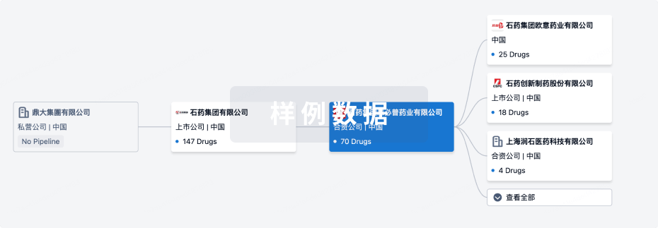
组织架构
使用我们的机构树数据加速您的研究。
登录
或
管线布局
2026年02月07日管线快照
管线布局中药物为当前组织机构及其子机构作为药物机构进行统计,早期临床1期并入临床1期,临床1/2期并入临床2期,临床2/3期并入临床3期
药物发现
42
108
临床前
临床1期
4
7
临床2期
临床3期
3
36
其他
登录后查看更多信息
当前项目
登录后查看更多信息
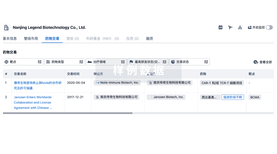
药物交易
使用我们的药物交易数据加速您的研究。
登录
或
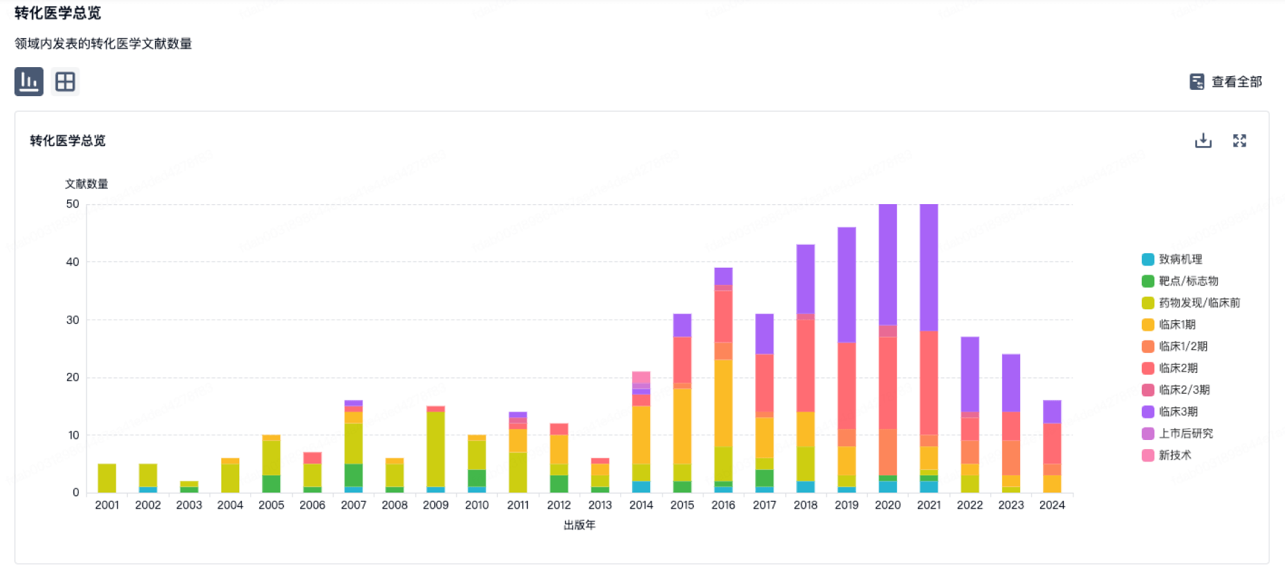
转化医学
使用我们的转化医学数据加速您的研究。
登录
或
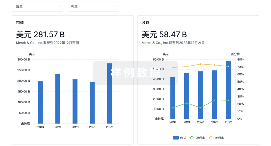
营收
使用 Synapse 探索超过 36 万个组织的财务状况。
登录
或
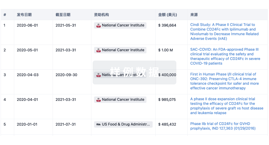
科研基金(NIH)
访问超过 200 万项资助和基金信息,以提升您的研究之旅。
登录
或
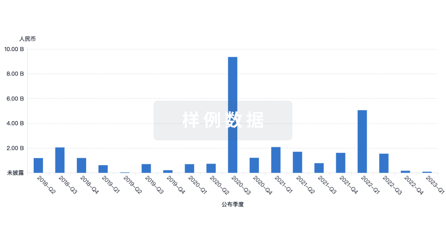
投资
深入了解从初创企业到成熟企业的最新公司投资动态。
登录
或
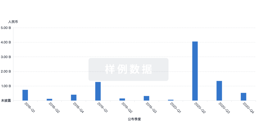
融资
发掘融资趋势以验证和推进您的投资机会。
登录
或
生物医药百科问答
全新生物医药AI Agent 覆盖科研全链路,让突破性发现快人一步
立即开始免费试用!
智慧芽新药情报库是智慧芽专为生命科学人士构建的基于AI的创新药情报平台,助您全方位提升您的研发与决策效率。
立即开始数据试用!
智慧芽新药库数据也通过智慧芽数据服务平台,以API或者数据包形式对外开放,助您更加充分利用智慧芽新药情报信息。
生物序列数据库
生物药研发创新
免费使用
化学结构数据库
小分子化药研发创新
免费使用


